
Wanderung Etzel 27.05.2022
Ausgangspunkt der Wanderung ist Etzelpass. Die abwechslungsreiche Wanderung führt vorbei an Hochmoorgebiet Enzenau. Immer wieder unterwegs sehr schöne Aussichten auf Zürichsee vom Zürich bis zum Obersee. Zum Abschluss steiler Abstieg vom Etzel Kulm im Strickliwald und zurück zum Etzelpass.
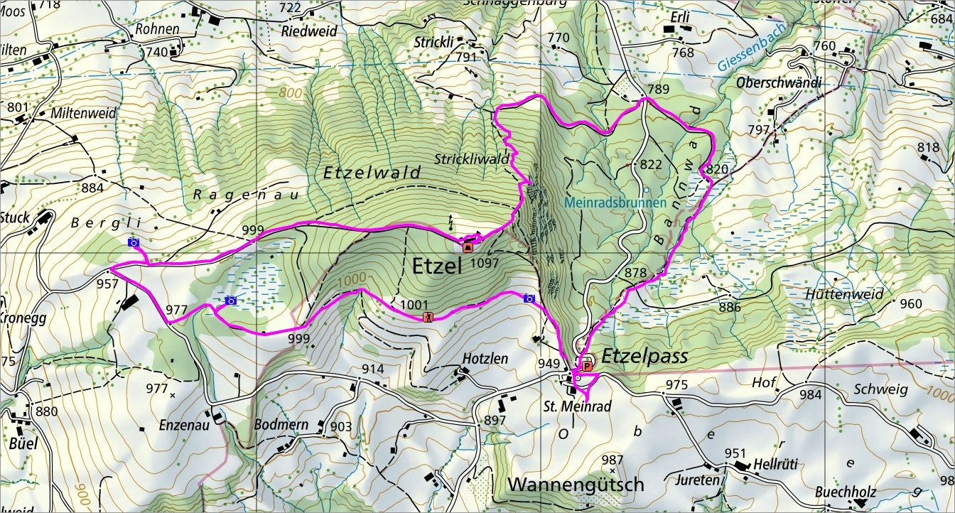 Die Wanderroute |
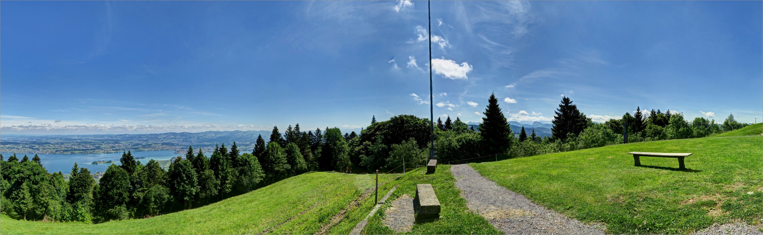 Interaktives Panorama von Etzel ► Zum interaktiven Panorama |
 3 of 18 Einsiedeln und Mythen vorne  Einsiedeln und Mythen vorne |
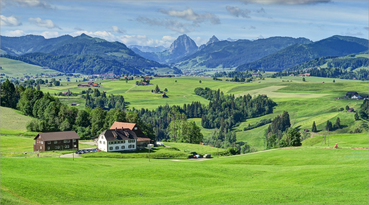
 4 of 18 Blick Richtung Sihlsee und Ybrig-Gebiet Blick Richtung Sihlsee und Ybrig-Gebiet |
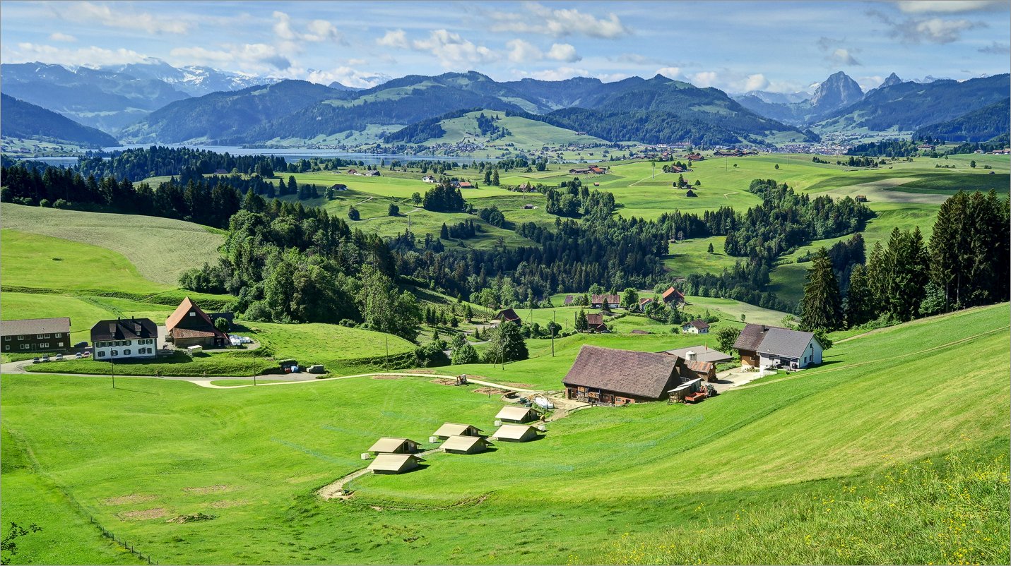
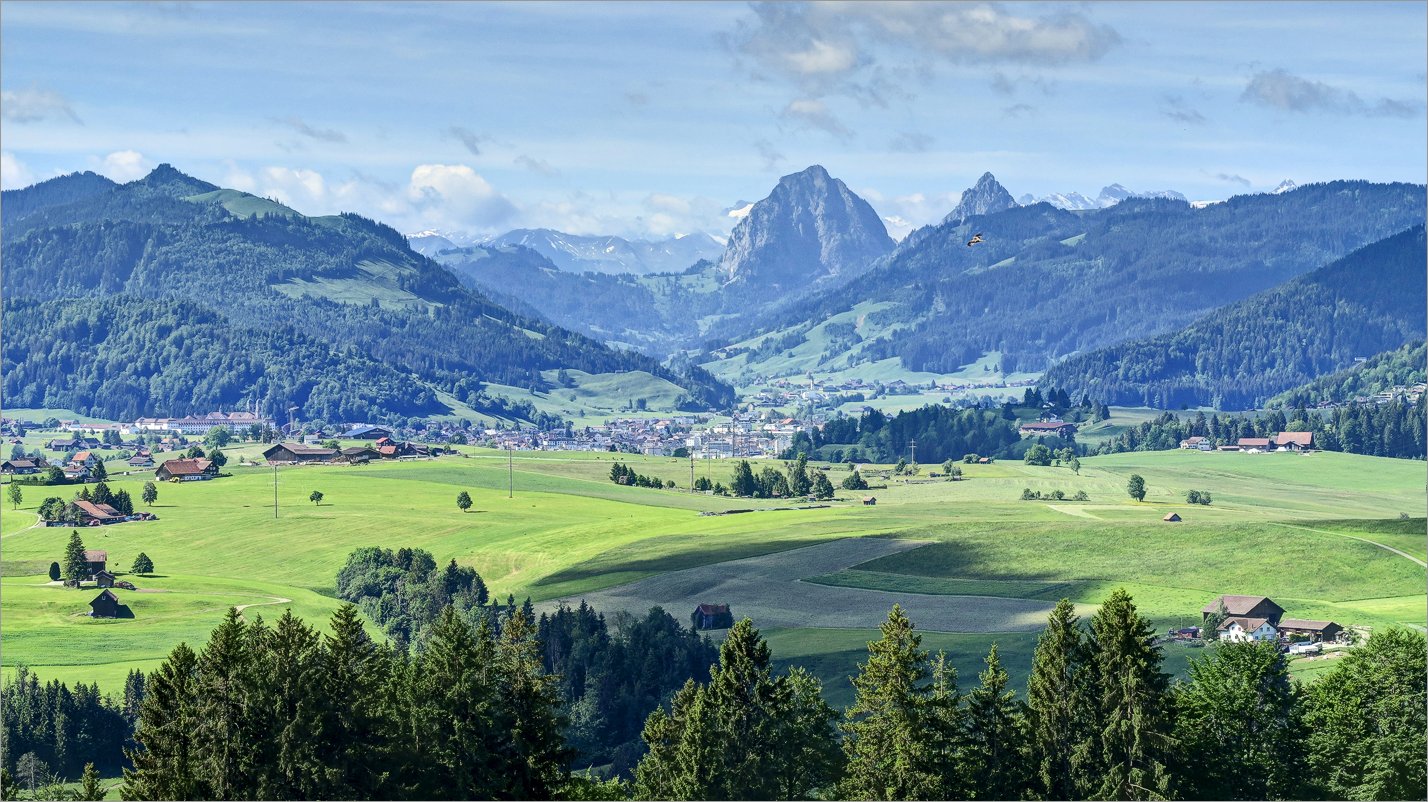 5 of 18 Grosser Mythen und Einsiedeln Grosser Mythen und Einsiedeln |
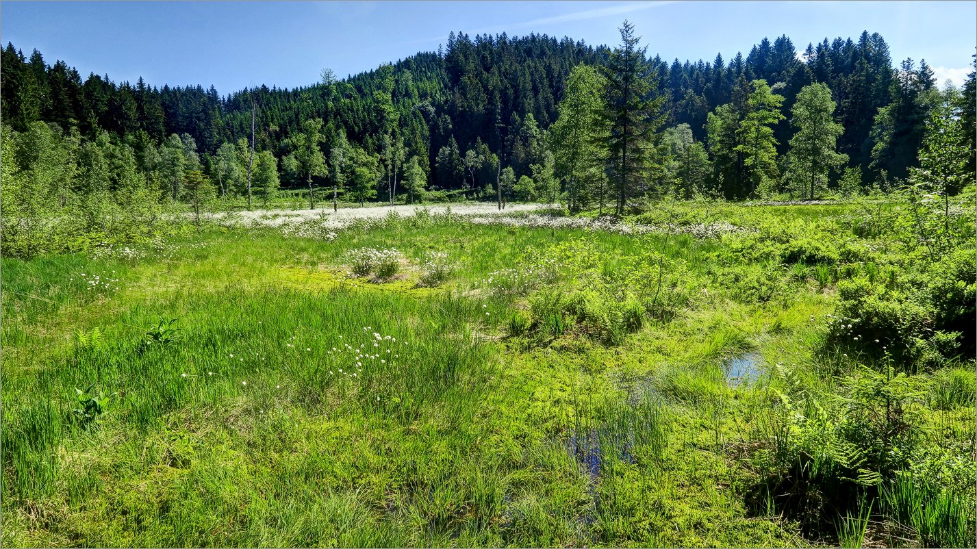 6 of 18 Vegetation und Blumen im Moor Vegetation und Blumen im Moor |
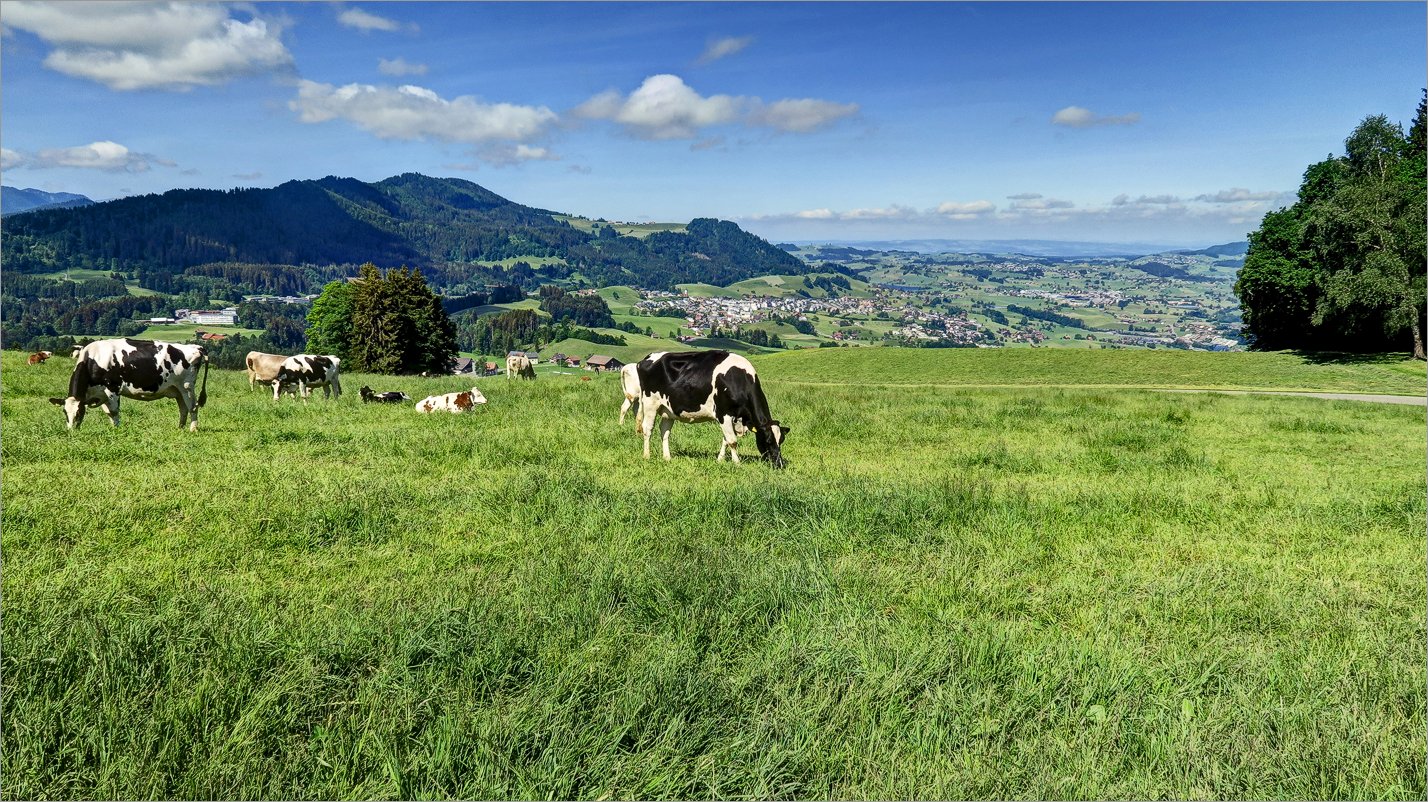 7 of 18 Küheweide mit schönen Ausblicken Küheweide mit schönen Ausblicken |
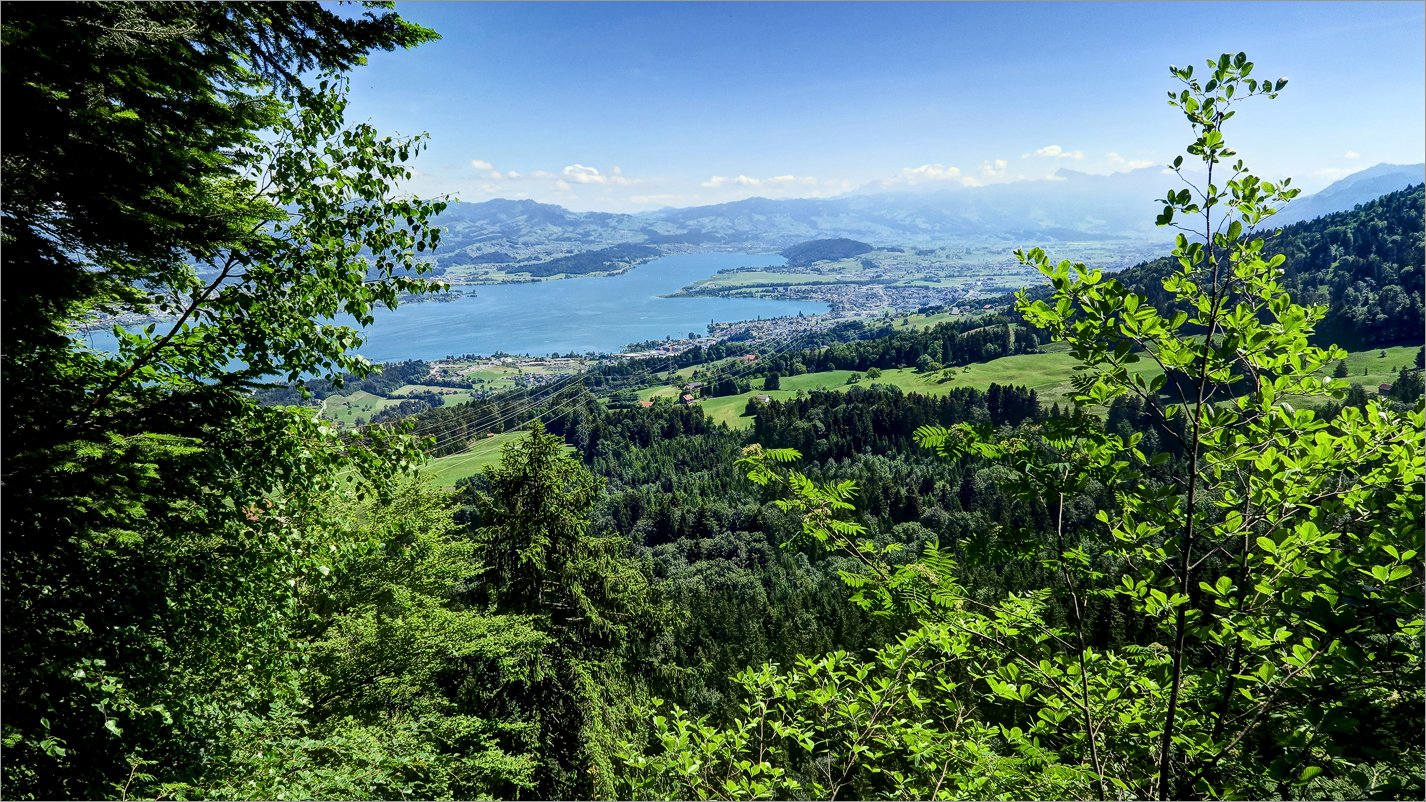
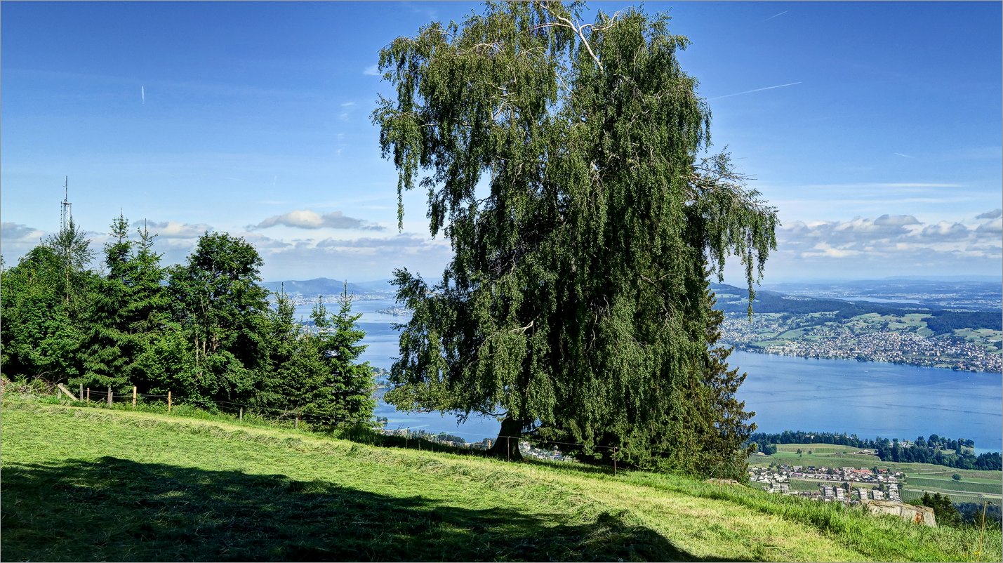 8 of 18 Zürichsee Zürichsee |
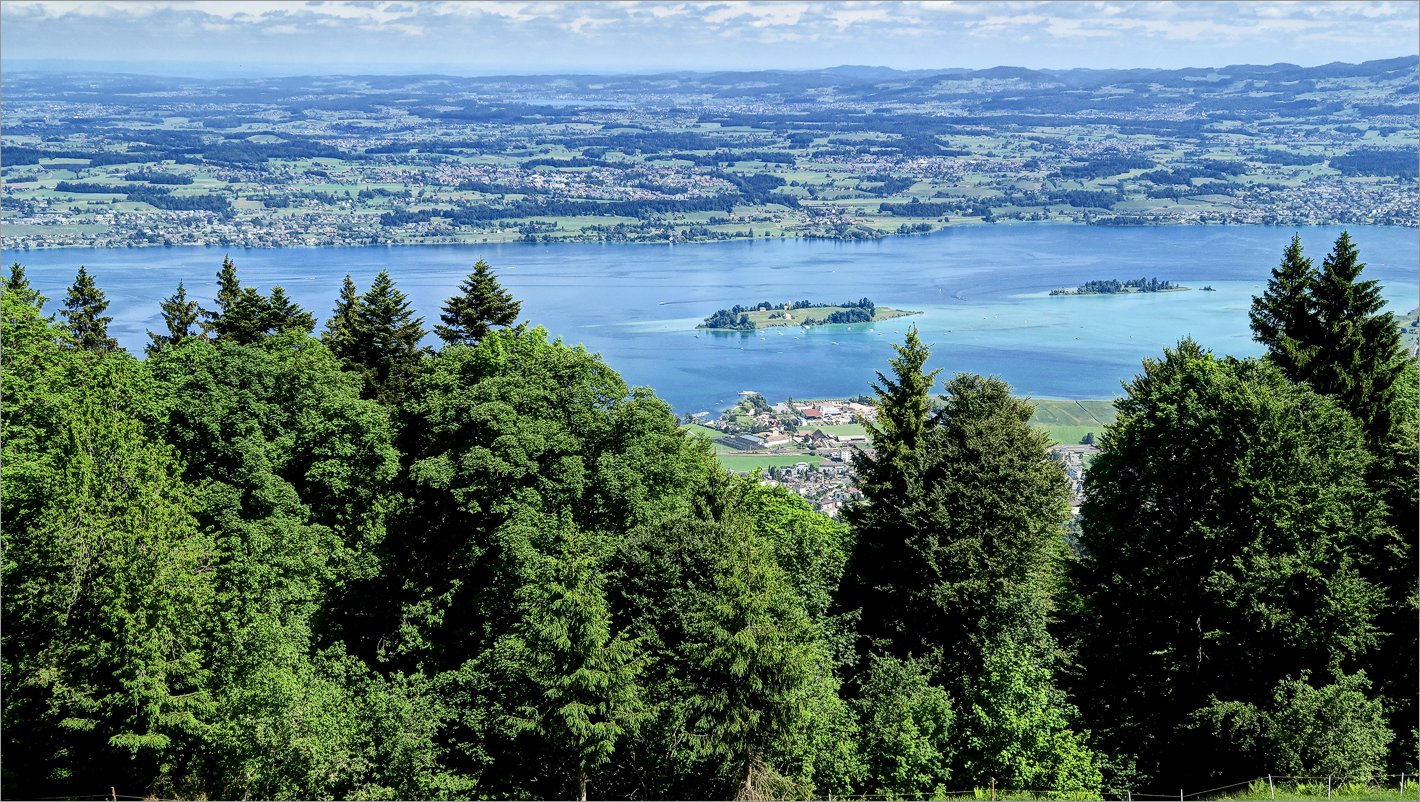
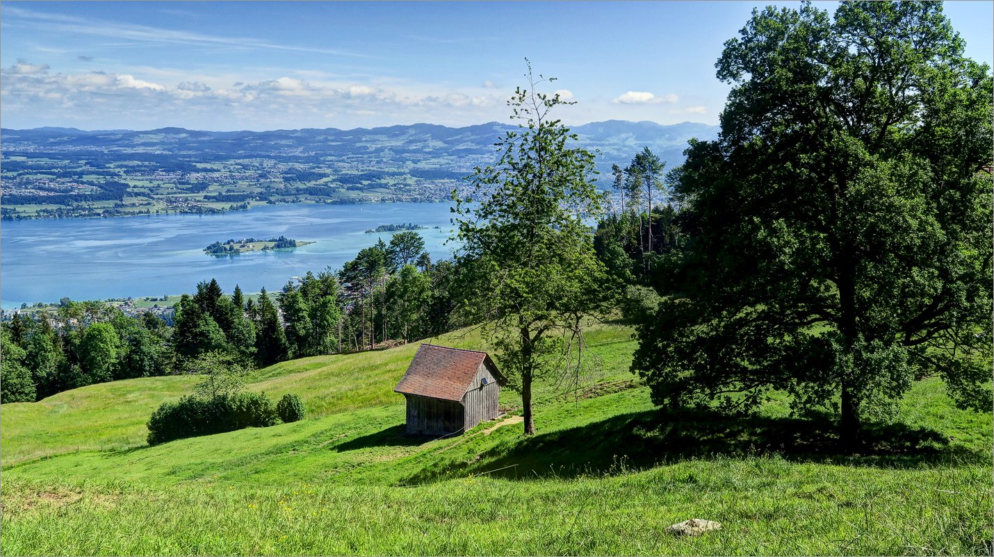 9 of 18 Die Inseln Ufenau und Lützelau im See Die Inseln Ufenau und Lützelau im See |
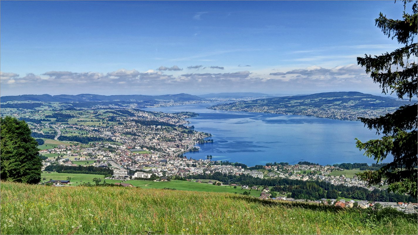 10 of 18 Wollerau und weiter Blick bis nach Zürich Wollerau und weiter Blick bis nach Zürich |
 11 of 18 Wollerau am Zürisee Wollerau am Zürisee |
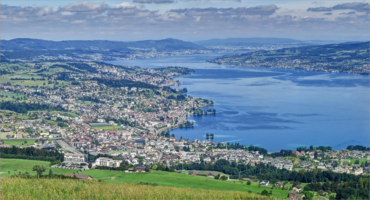
 12 of 18 Schöne Aussicht auf Zürichsee Schöne Aussicht auf Zürichsee |
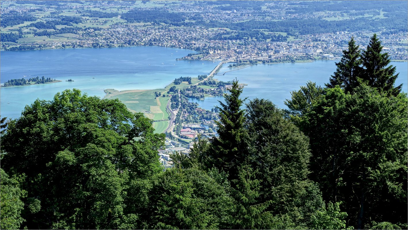 13 of 18 Die Strasse nach Rapperswil Die Strasse nach Rapperswil |
 14 of 18 Die Inseln Die Inseln |
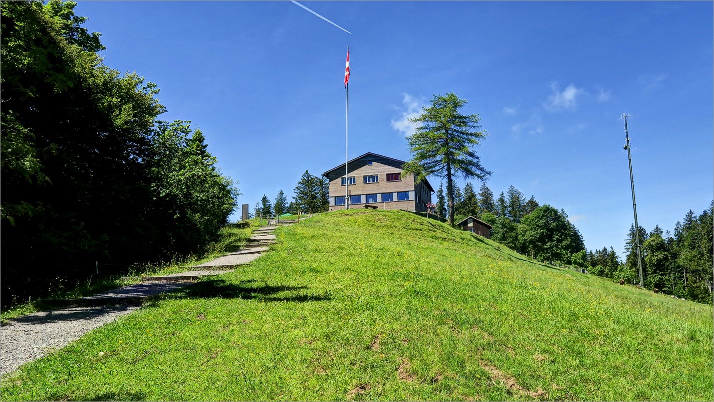 15 of 18 Etzel mit Fahne, Restaurant und Antenne Etzel mit Fahne, Restaurant und Antenne |
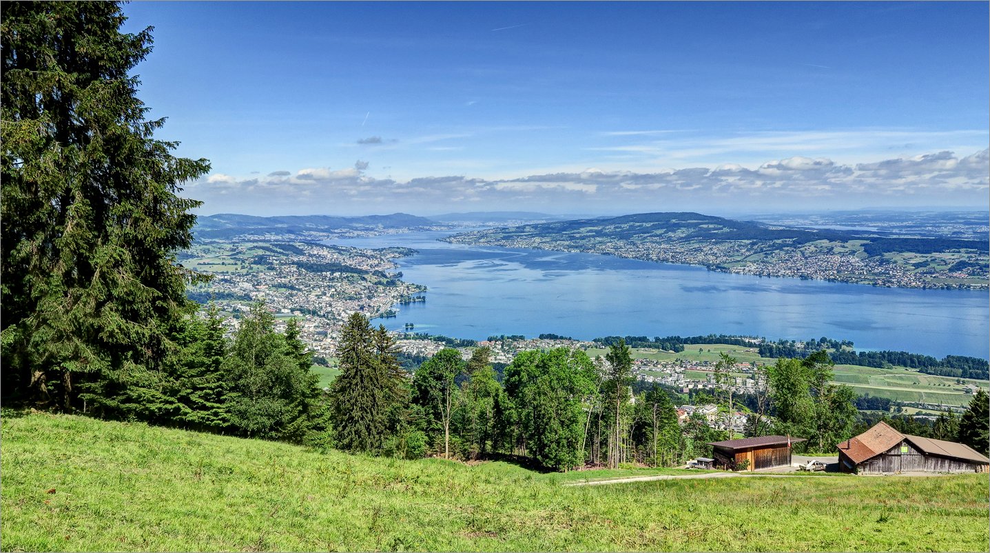
 16 of 18 Blick zum Ost-Ende von Zürichsee Blick zum Ost-Ende von Zürichsee |
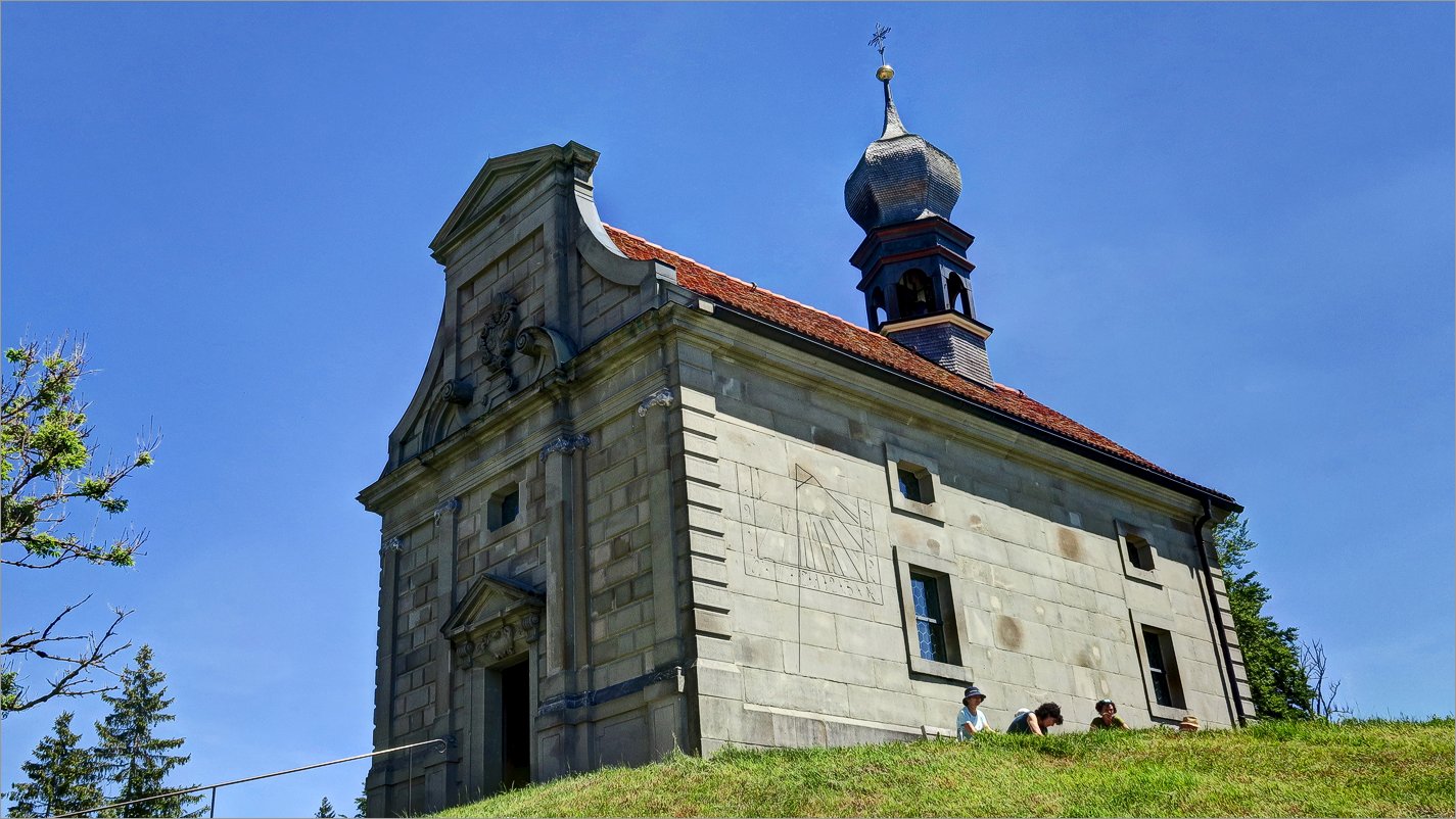 17 of 18 Kapelle St. Meinrad auf dem Etzelpass Kapelle St. Meinrad auf dem Etzelpass |
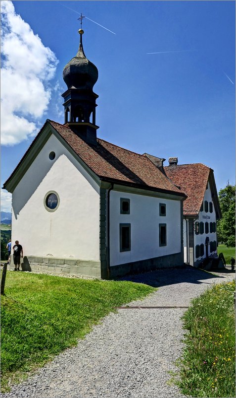 18 of 18 Kapelle St. Meinrad auf dem Etzelpass Kapelle St. Meinrad auf dem Etzelpass |
Datum
27.05.2022Ausgangspunkt
EtzelpassZiel
Etzel (1097m),► siehe auf der Karte .
Koordinaten
WGS 84 (lat/lon): 47.17738, 8.76756CH1903 / LV03: 700`734.19, 226`011.32