
Wanderung Vogelberg 27.02.2022
Wanderung auf Vogelberg von Passwangpass aus
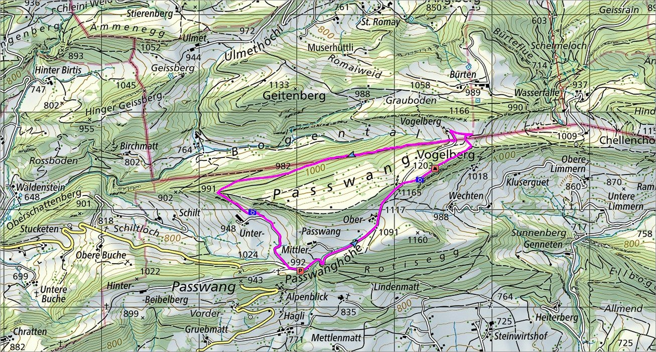 Die Route |
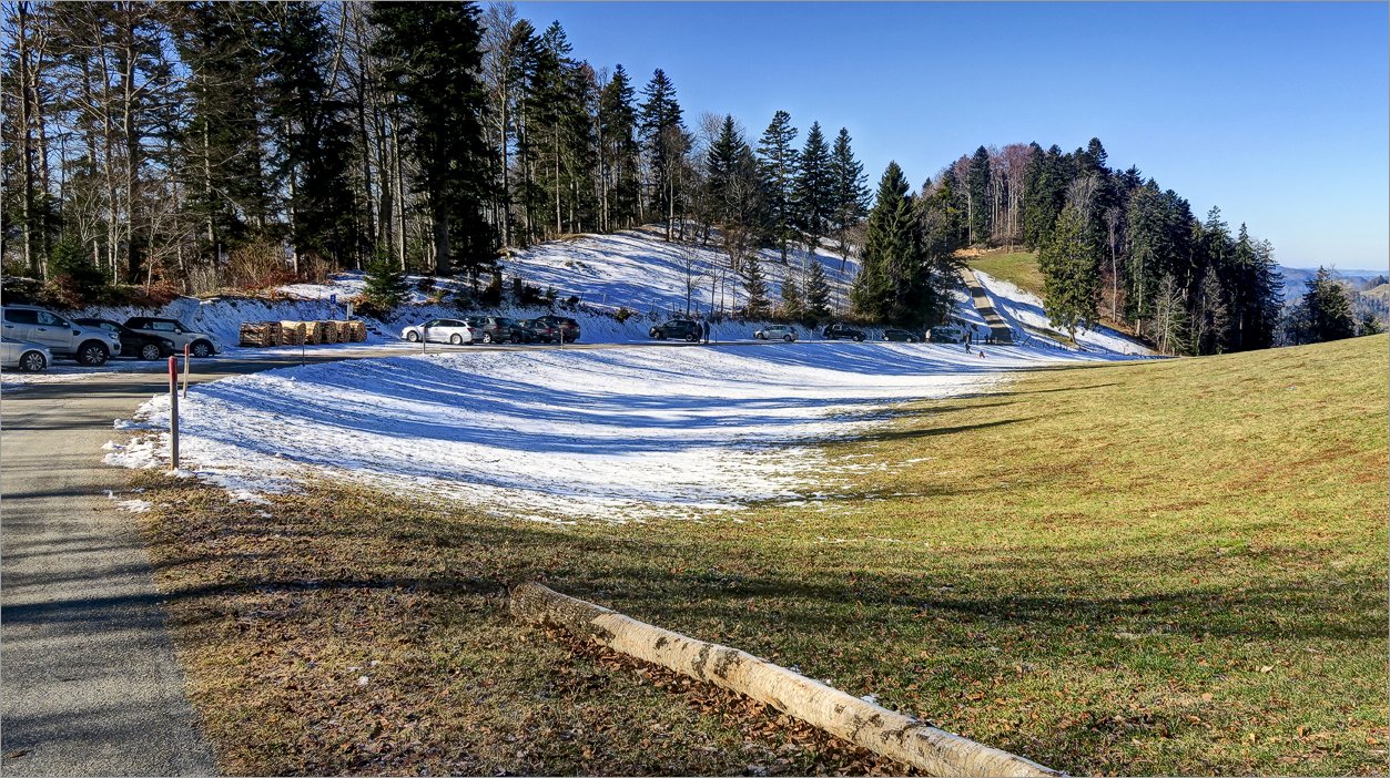 2 of 16 Start auf dem Passwangpass  Start auf dem Passwangpass |
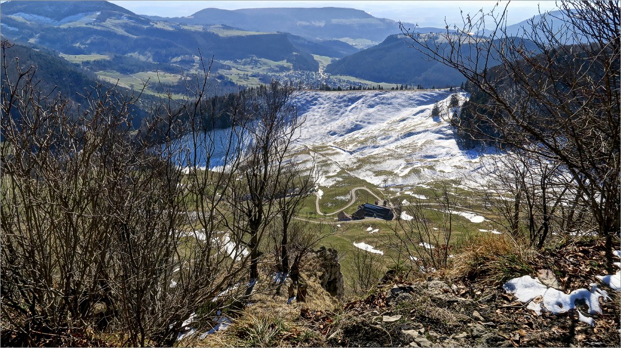
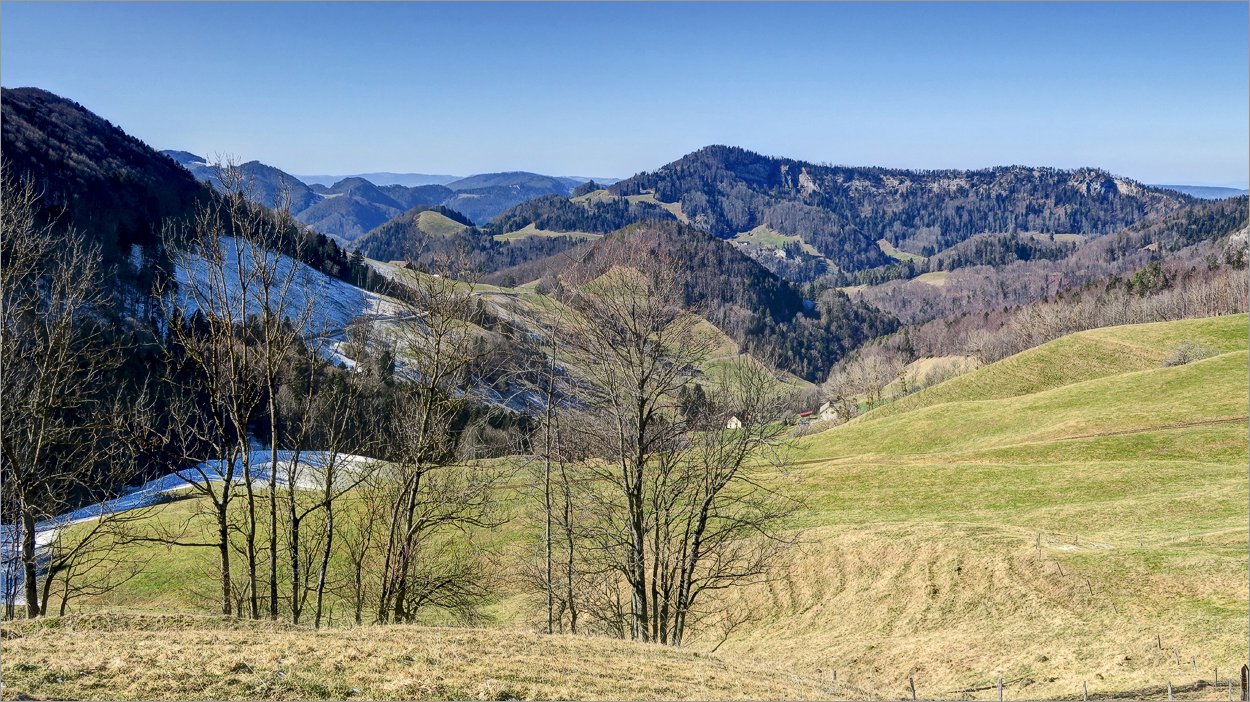
 3 of 16 Sehr schöner Aussichtspunkt in der Näher von Vogelberg Sehr schöner Aussichtspunkt in der Näher von Vogelberg |
 4 of 16 Auf dem Aussichtspunkt beim Vogelberg Auf dem Aussichtspunkt beim Vogelberg |
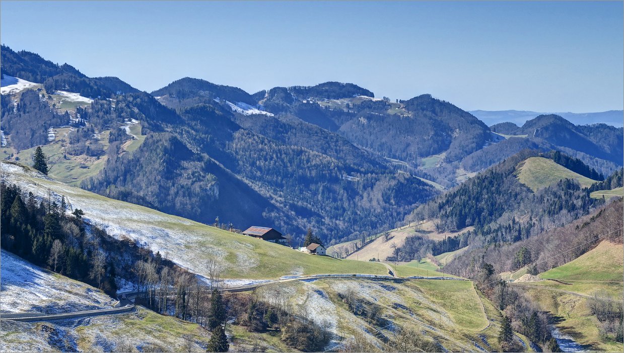
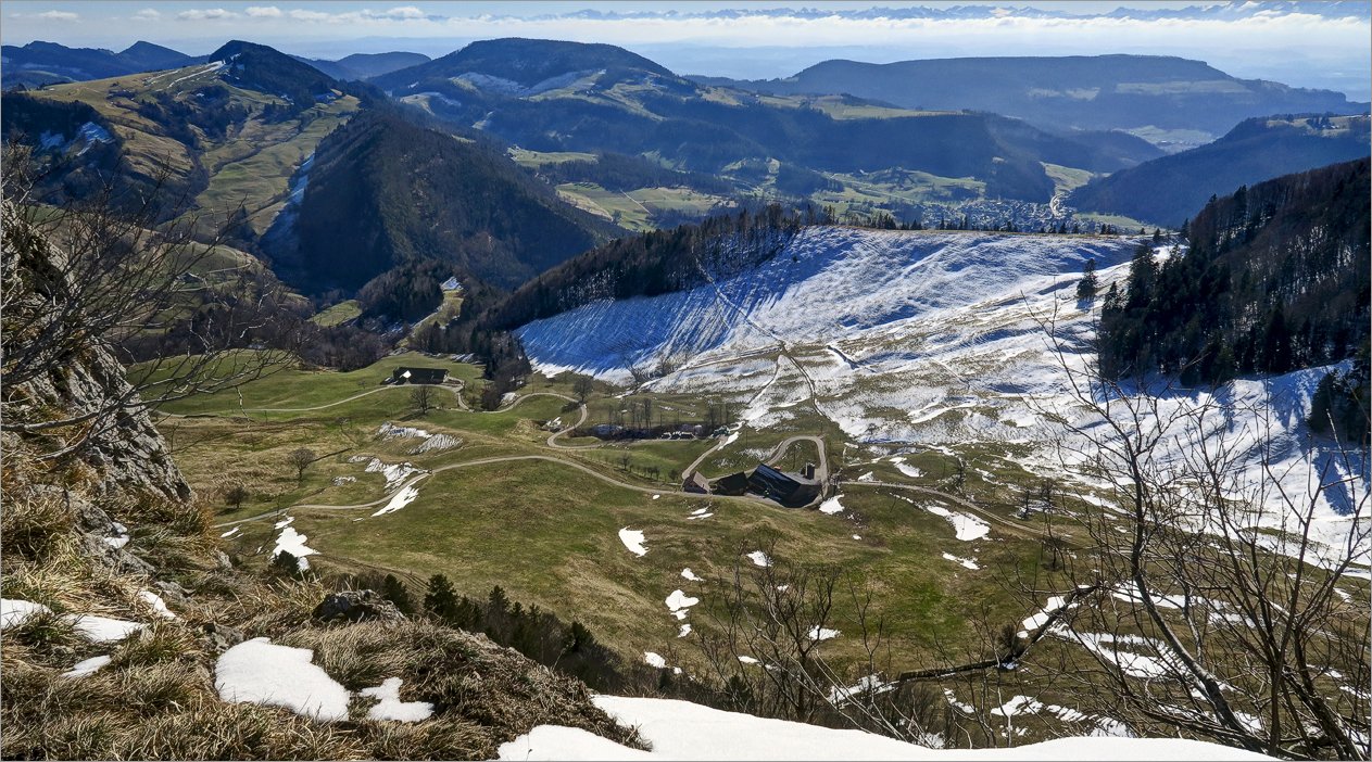 5 of 16 Blick Richtung Balsthal Blick Richtung Balsthal |
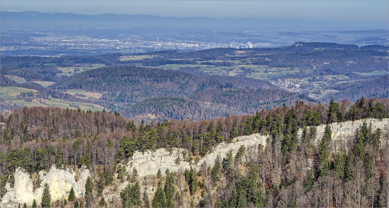 6 of 16 Basel Basel |
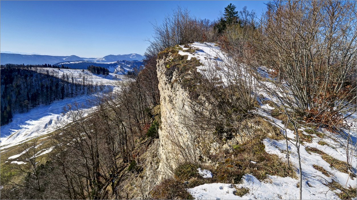
 7 of 16 Blick vom Aussichtspunkt Richtung Vogelberg Blick vom Aussichtspunkt Richtung Vogelberg |
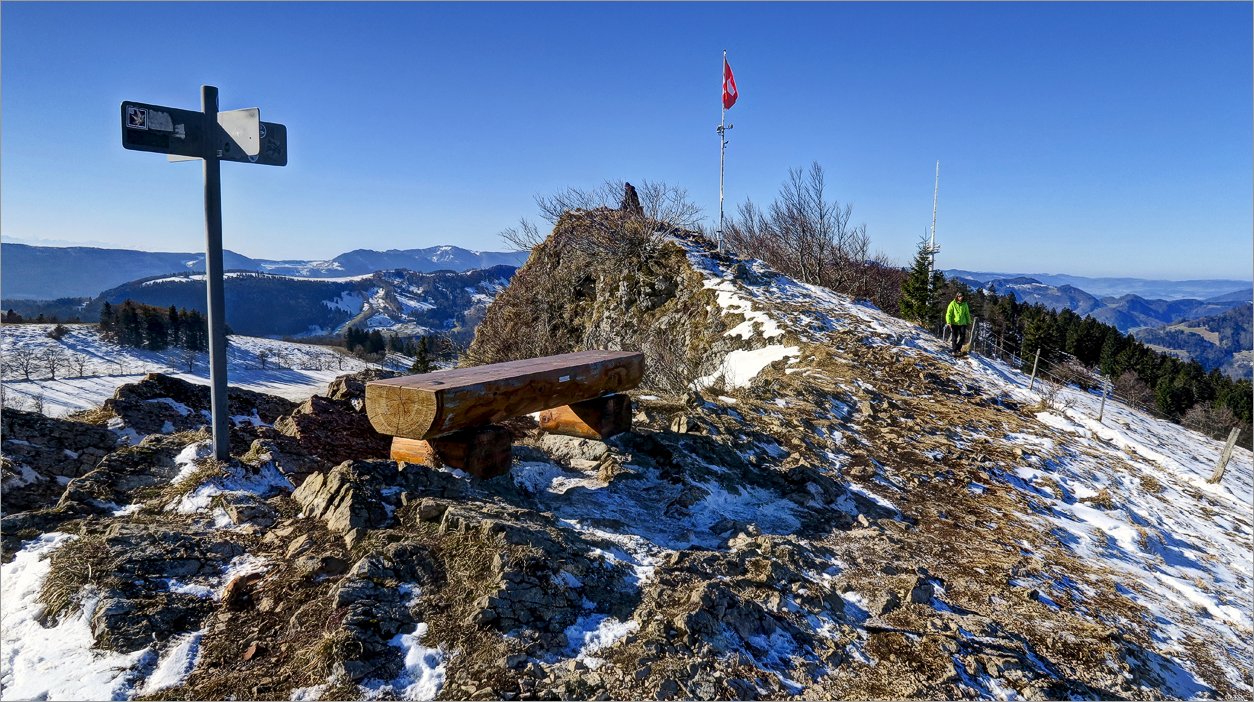
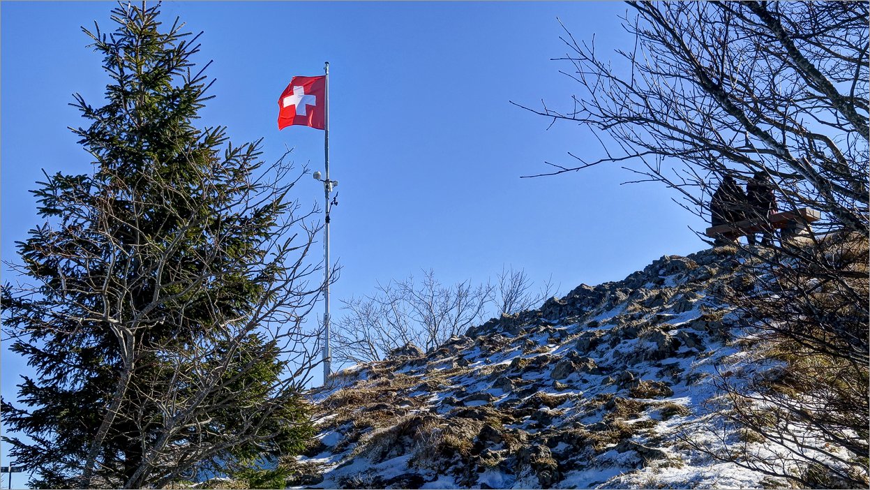
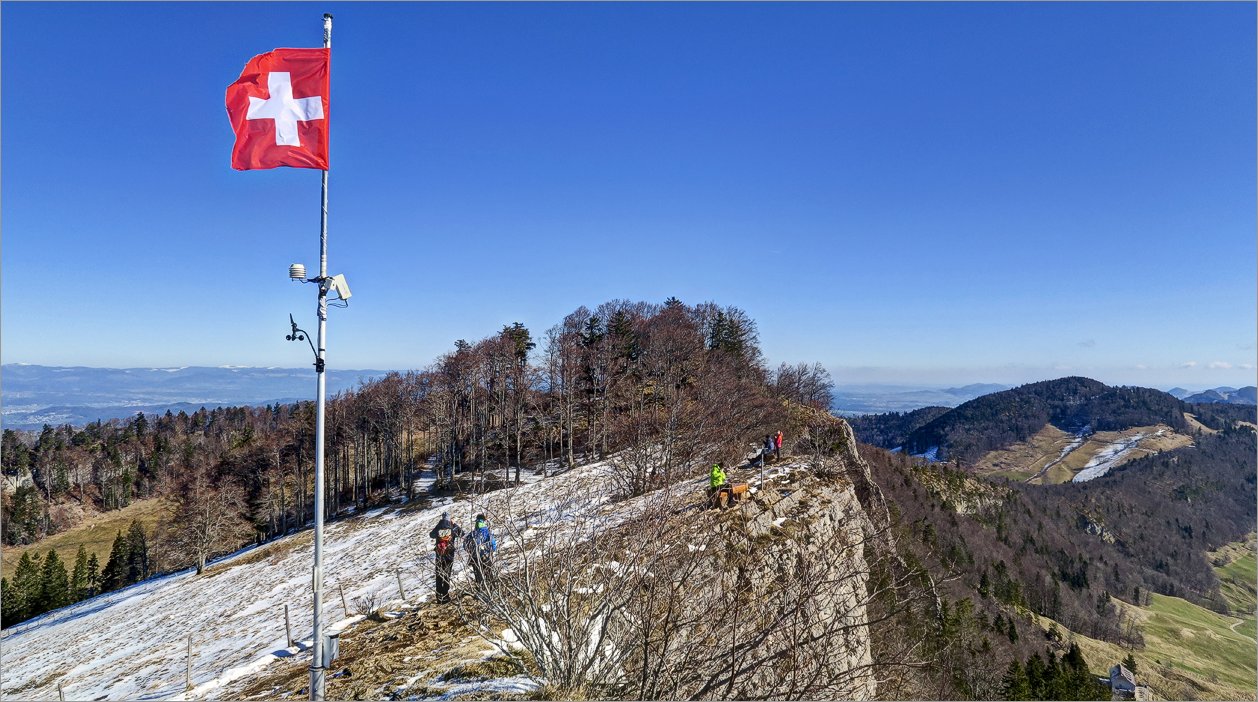
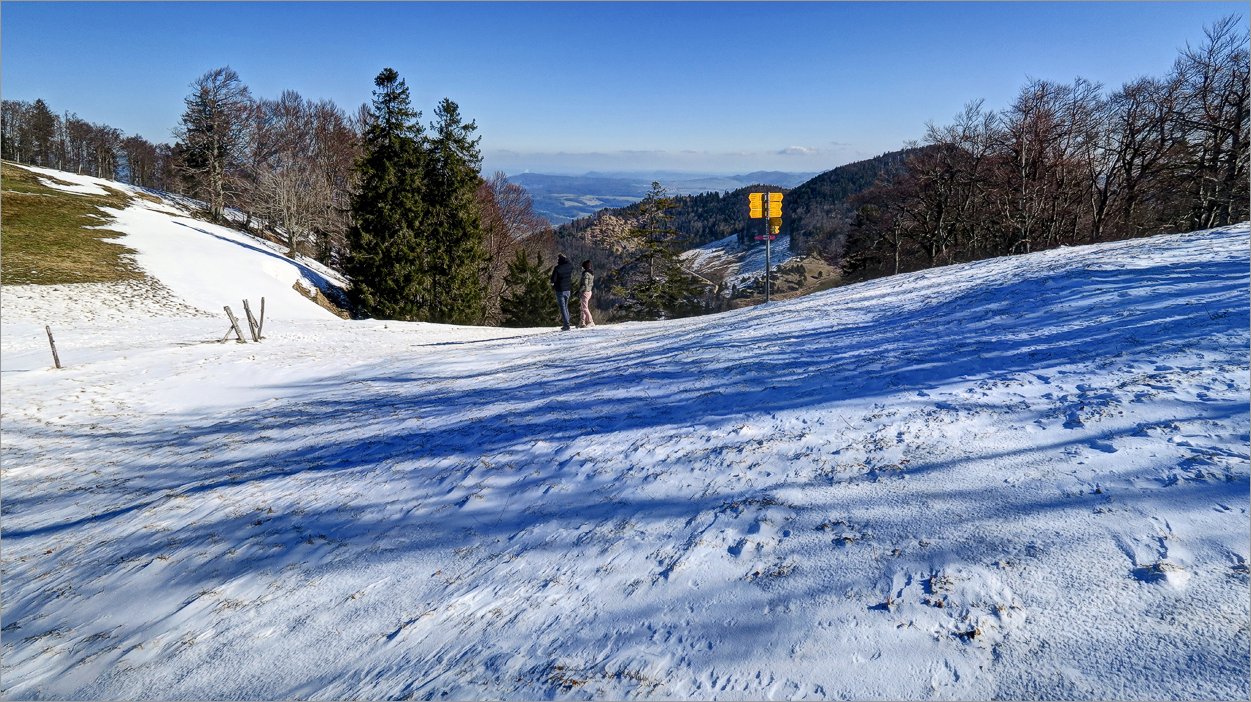
 8 of 16 Auf dem Vogelberg Auf dem Vogelberg |
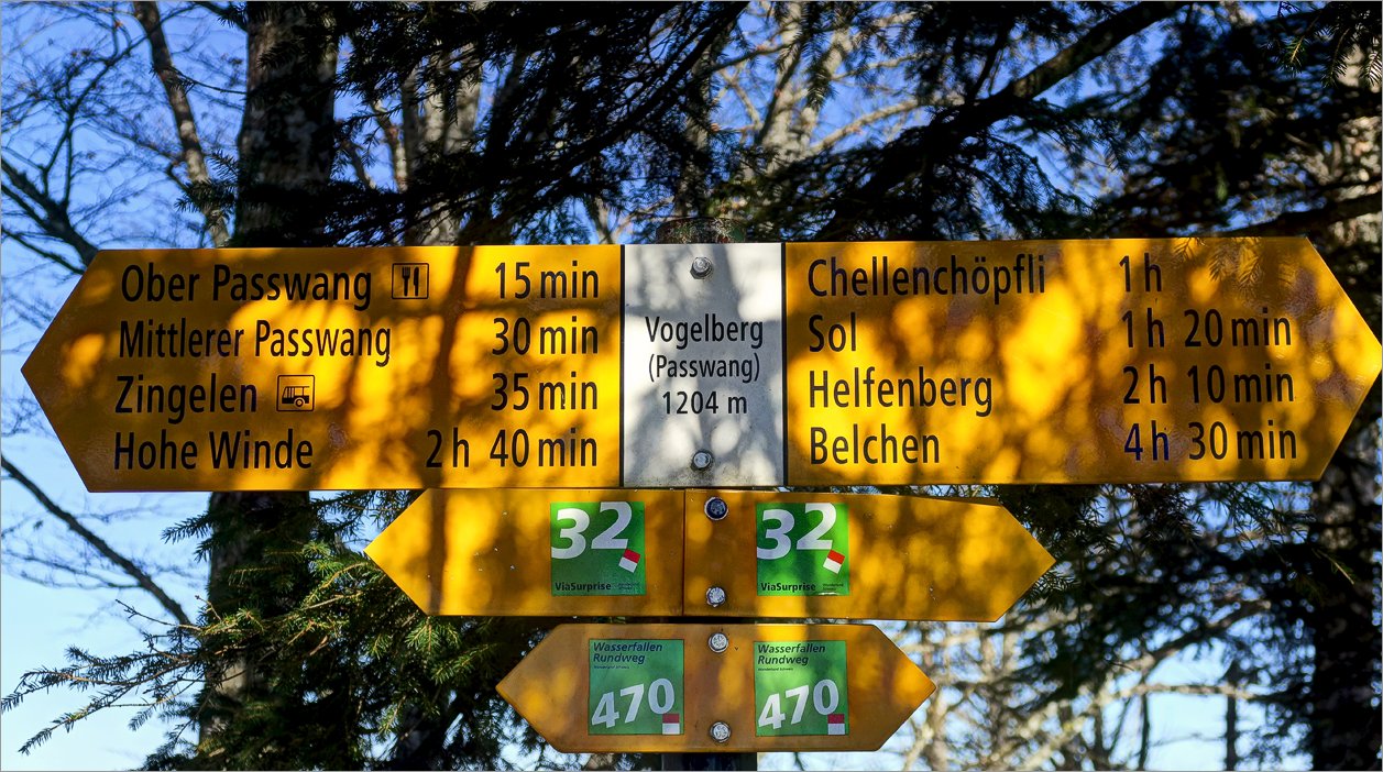
 9 of 16 Unscheinbarer Gipfel Vogelberg Unscheinbarer Gipfel Vogelberg |
 10 of 16 Blick Richtung Balsthal Blick Richtung Balsthal |
 11 of 16 Im Schatten liegt noch Schnee Im Schatten liegt noch Schnee |
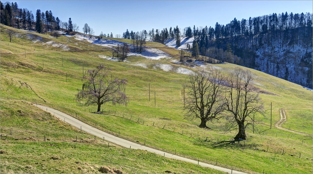
 12 of 16 Fast richtiger Winter Fast richtiger Winter |
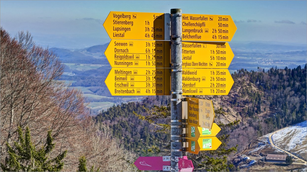 13 of 16 Unzählige Wege in alle Richtungen Unzählige Wege in alle Richtungen |
 14 of 16 Wieder fast zurück am Startpunkt Wieder fast zurück am Startpunkt |
 15 of 16 Passwangpass Views Passwangpass Views |
 16 of 16 Passwangpass Views Passwangpass Views |
Datum
27.02.2022Ausgangspunkt
PasswangpassZiel
Vogelberg (1204m),► siehe auf der Karte .
Koordinaten
WGS 84 (lat/lon): 47.36837, 7.68261CH1903 / LV03: 618`428.49, 246`420.17